Mount Amagi Hiking Guide 2026: Best Trails, Itinerary & How to Get There from Tokyo
Located on the lush Izu Peninsula in Shizuoka Prefecture, Mount Amagi (天城山) is one of the most scenic volcanic mountain ranges in Japan. Unlike a single peak, Mount Amagi refers to a group of mountains, with Mount Banzaburo (万三郎岳) standing as the highest point at 1,406 meters.
Surrounded by deep forests, moss-covered trails, and panoramic coastal views, Mount Amagi offers a peaceful hiking experience away from the crowds of Japan’s more famous peaks.

Special thanks to Shodai and Emma, who made this photo possible. Mount Banzaburo, February 22, 2026.
What makes Mount Amagi unique?
Mount Amagi is known for its dense beech forests, especially around the higher elevations. In spring and summer, the trails are shaded and cool. In autumn, the mountains explode into vibrant reds and golds. Because of its location on the Izu Peninsula, hikers are rewarded with breathtaking views of the Pacific Ocean on clear days, something not many inland mountains can offer.
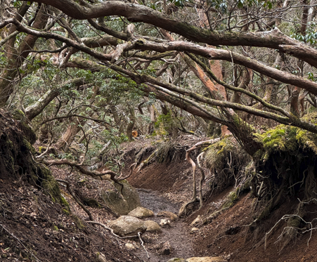
They call this spot the Japanese Andromeda Tunnel.
When Is the Best Time to Hike?
Mount Amagi is accessible almost year-round, but each season offers a different experience:
Spring (April–May): Fresh greenery and blooming rhododendrons
Summer (June–August): Cool forest hiking, great escape from city heat
Autumn (October–November): Peak foliage season — highly recommended
Winter (December–February): Occasional snow and icy trails; requires proper gear
👉 Best Overall Season: Late October to early November for autumn colors and comfortable hiking temperatures. I went there late in February 2026.
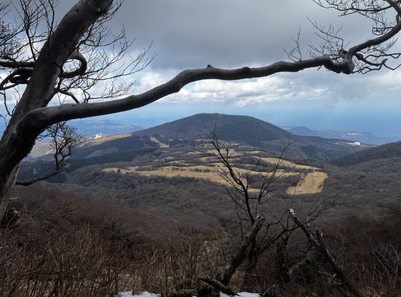
The view of Amagi Kogen Golf Course from above. February 22, 2026
The Hiking Trail
🥾 Mount Banzaburo Loop Course (Recommended)
Distance: ~8 km loop
Duration: 4–5 hours
Difficulty: Moderate
Starting Point: Amagi Kogen Golf Course Parking Area
This is the most popular route. The loop takes you through thick forest trails up to Mount Banzaburo summit and then continues to Mount Banzan (万二郎岳) before descending. Expect some steep sections, wooden staircases, and roots along the path. In my hike, I did it in reverse. I took the trail heading to Mount Banzan, then traversed to Mount Banzaburo, then descended back to Amagi Kogen Golf Course Parking Area.
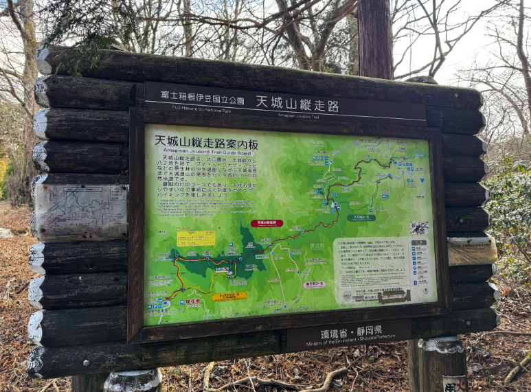
Trail map at Amagi Kogen Trailhead.
Getting to Mount Amagi from Tokyo
By Train + Bus (USE GOOGLE MAPS FOR NAVIGATION)
From Tokyo, take the Limited Express Odoriko to Ito Station (about 2 hours).
From Ito Station, take a bus toward Amagi Kogen. It was at Bus stop number 2 as of February 2026 *This might be subject to changes anytime.
Get off near the Amagi trailhead area.
NOTE: During January-March, there is a shortening of the bus route, which ends at Harvest Amagi and about 3km away from the trailhead.
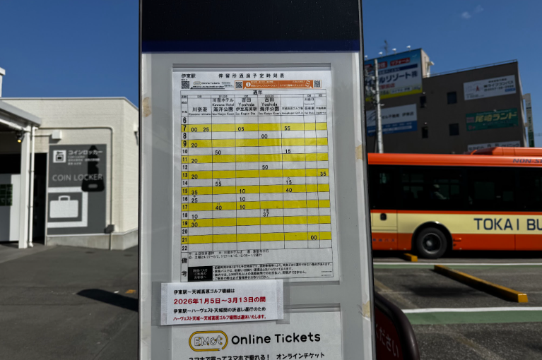
This is the bus schedule going to Amagi Kogen. It is located at Bus Stop Number 2 at Ito Station. February 22, 2026.
Total travel time: Approximately 3–3.5 hours.
By Car (Recommended)
Driving from Tokyo takes about 2.5–3 hours via the Tomei Expressway. Having a car provides flexibility, especially if you want to explore nearby onsen towns like Shuzenji after your hike.
My Sample Day trip Itinerary
6:30 AM – Depart Tokyo by car or train
9:30 AM – Arrive at Amagi Kogen trailhead
10:00 AM – Start Mount Banzaburo Loop
12:30 PM – Summit break & lunch
2:30–3:00 PM – Finish hike
4:30 - Depart from Ito Station
8:00 - Arrived in Tokyo
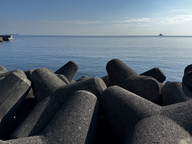
Ito Seaside. February 22, 2026
Final Thoughts
Mount Amagi is perfect for hikers looking for a quiet, forested mountain experience without extreme altitude. Its combination of volcanic terrain, ancient beech forests, and ocean views makes it one of the hidden gems of Shizuoka.
For those seeking adventure, nature, and a peaceful escape from the city, Mount Amagi offers a rewarding journey in every season.
Until the next adventure!
Cheers!
Jeric (Moses)
Where should we go NEXT?
Where should we go NEXT?
Download the blog here